Google has launched the Street View feature on its Maps application offering 360-degree, panoramic and street-level imagery. The feature is available across Chennai, Bengaluru, Delhi, Mumbai, Hyderabad, Pune, Nashik, Vadodara, Ahmednagar and Amritsar. According to reports, in association with Genesys International and Tech Mahindra, Google aims to expand the feature to 50 cities by the end of 2022.
How to use Street View in Google Maps on Android and iPhone
SEE ALSO: How To Link Aadhar Card With Pan Card
Step 1: Open the Google Maps app.
Step 2: Search for a place or drop a pin on the map.
Step 3: Select the place name or address.
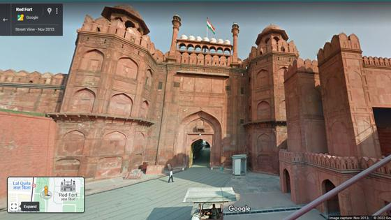
Step 4: Scroll down and select the photo labeled “Street View” or the thumbnail with a Street View icon.
How to use Street View Layer
Step 1. On your Android phone or tablet, open the Google Maps app .
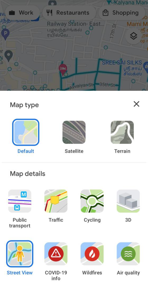
Step 2. At the top, tap Layers
Street View.
Step 3. Blue lines on the Map indicate Street View coverage. Tap on any blue line to enter Street View.